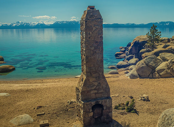
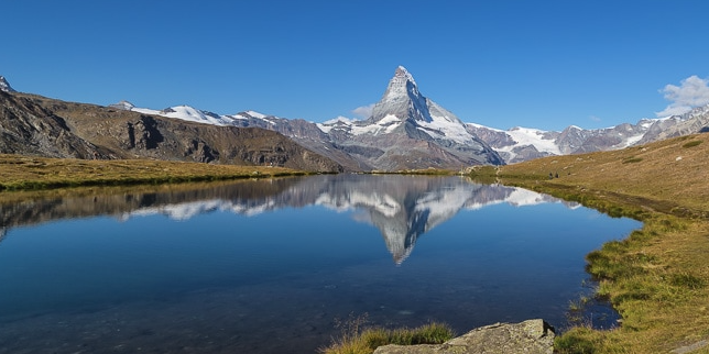
Chimney Beach/Secret Cove/Creek Beaches-East Shore of Lake Tahoe - Difficulty: Easy, 1-3 miles round trip +/- 200 feet
A small parking area situated 8.2 miles from the roundabout in Incline Village provides access to some of Lake Tahoe's most stunning and pristine beaches. Just a short walk (less than a quarter-mile northwest) leads you to Chimney Beach, the easiest to reach. If you hike south along the dirt road, you'll find the trail to Secret Cove in under a mile. Continuing on the road, you can enjoy the expansive Creek Beach, located about a mile and a half from the parking lot. Along this route, you'll discover several beautiful beaches perfect for your Lake Tahoe adventure.
Donner Peak Hike - Truckee - Difficulty: Moderate, 5 miles round trip, +/- 1000 feet
Eagle Rock Hike – West Shore of Lake Tahoe - Difficulty: Easy/Moderate, 1.5 miles, +/- 250 feet
Nestled along Highway 89, just 4.7 miles south of the Tahoe City traffic light, the Eagle Rock Hiking Trail offers a half-mile trek that ascends 250 vertical feet to reveal one of the most breathtaking views of Lake Tahoe. For directions, simply search “Eagle Rock Hiking Trail Homewood” on Google Maps.
Five Lakes Trail – Alpine Meadows - DIfficulty: Moderate, 5 miles round trip, +/- 1000 feet
Recognized as one of the best short day hikes in California, the Five Lakes Trail offers a stunning 2.5-mile trek with a 1,000-foot elevation gain into the Granite Chief Wilderness. Located between Alpine Meadows and Olympic Valley, this scenic hike begins at the junction of Alpine Meadows Road and Upper Deer Park Drive, providing access to breathtaking views that complement your Lake Tahoe vacation. Whether you're enjoying summer activities or a peaceful getaway, this trail showcases the natural beauty that Lake Tahoe has to offer.
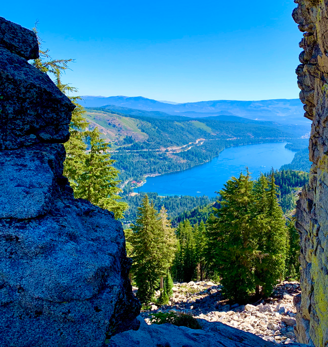
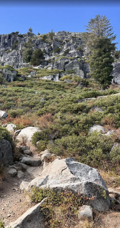
Shirley Canyon Trail – Palisades Tahoe, Olympic Valley - Difficulty: Strenuous, 4 miles one way, +2000 feet
The Shirley Canyon Trail offers a moderately strenuous yet highly rewarding hike starting from the base of Palisades Tahoe in Olympic Valley, leading up to High Camp. Along the way, you’ll be treated to stunning views of Squaw Creek, with clear pools and rushing waterfalls fed by melting snow. Ascending 2,000 vertical feet over just under four miles, the trail takes you to Shirley Lake—a perfect spot for a refreshing dip on a hot summer day.
Once you reach High Camp, you can enjoy amenities like a pool, hot tub, bar, and restaurant, along with a complimentary tram ride back down! If you’re looking for a more leisurely experience of the high alpine scenery, you can purchase a ticket for the tram ride to High Camp and explore from there. The trailhead for Shirley Canyon is located at the end of Squaw Peak Road.
This hike is one of the best summer activities in Lake Tahoe, making it a must-visit during your vacation.
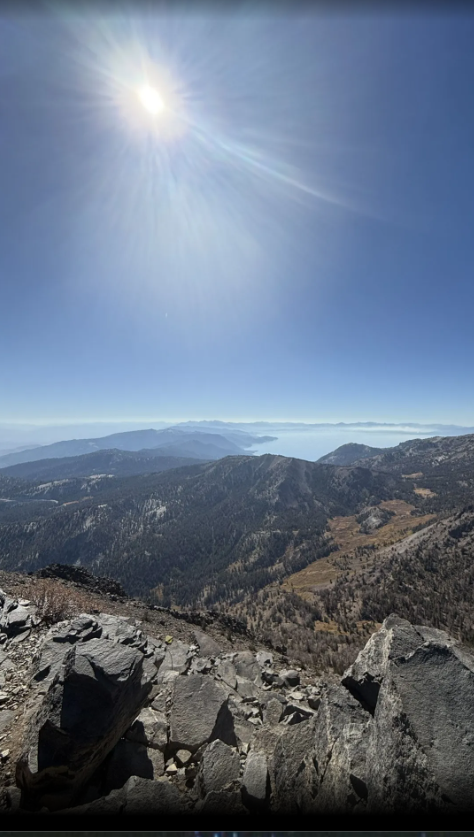
Mount Rose – Outside of Incline Village - Difficulty: Strenuous, 8 miles round trip, +/-2000 feet
To start your adventure, head north on Hwy 431 (Mt. Rose Hwy) from Incline Village. You can park at the trailhead, located one mile before the summit.
Description
Mt. Rose stands as one of the tallest peaks near Lake Tahoe, offering breathtaking views of the lake, Reno, and the entire Tahoe basin. The hike begins on a dirt road that meanders for three miles through a picturesque forest filled with Lodgepole pines, mule ears, and sagebrush. About halfway through, you’ll encounter a beautiful meadow adorned with vibrant lupine, paintbrush, and larkspur.
As you continue, the last two miles feature steep switchbacks that lead you to the ridgeline. Be sure to sign the logbook at the summit to commemorate your achievement!